![]()
LUMASS - Land-Use Management Support System
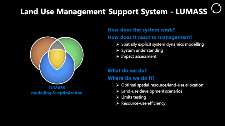
LUMASS is designed to provide support for two high level aspects of land management: i) land use impact assessment and ii) spatial planning. The former aspect is supported by its spatial system dynamics modelling framework and the latter by its spatial optimisation framework.
LUMASS is mainly focused on processing and displaying raster data. However, it also provides selected functionality for displaying vector data. Check out our documentation section for more information.
Downloads
LUMASS v0.9.66-rc21a Linux | Windows
*Sample data v0.4 for User Guide
OptimisationHowTo v1.2 - Replicate the scenarios and results discussed in “Assessing Resource-Use Efficiency of Land Use” (Herzig et al. 2018)!
Support
Forum: https://github.com/manaakiwhenua/LUMASS/discussions User Group: https://groups.google.com/forum/#!forum/lumass-users
Source Code
$ git clone https://github.com/manaakiwhenua/LUMASS.git